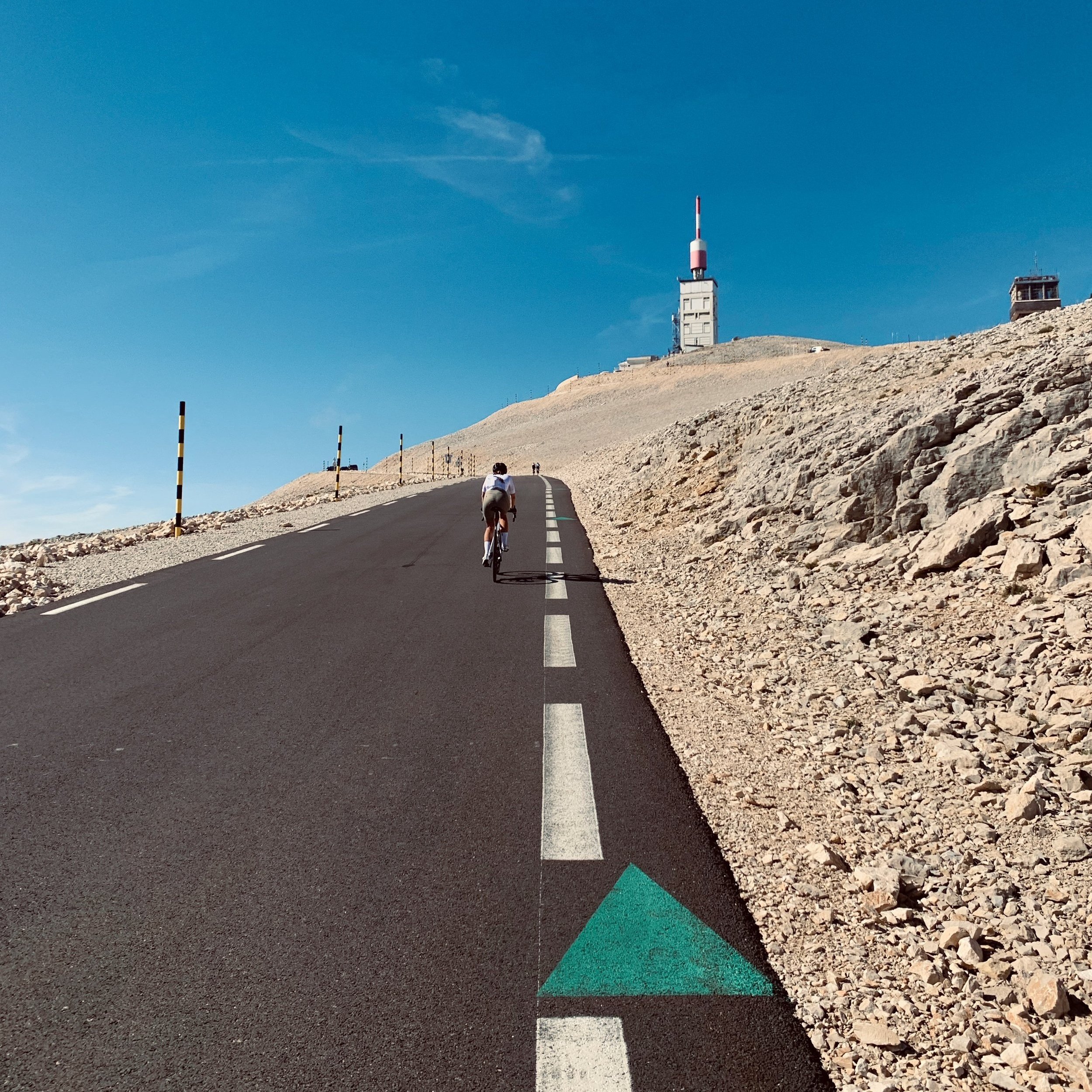
Mount Ventoux - Le Géant de Provence
Any cycling enthusiasts has been intrigued and attracted to the famous Mont Ventoux. Cycling up this famous mountain can be as challenging as it is rewarding, but with so many ways to go up, it can be hard to figure out which way is best for you.
The scenery of this mountain pass is breathtaking, and there are plenty of opportunities for stops along the way to enjoy the views. Of course, the biggest challenge is conquering the mountain itself, but that sense of accomplishment upon reaching the summit is unrivaled.
Find out more about the different paths to the top of the Mont Ventoux in this blog.
Cycling the Month Ventoux from Bédoin
Bédoin is a little village at the foot of Mont Ventoux. It's the perfect place to start your climb up the mountain, there are plenty of cafes and shops to keep you fueled for the journey or to recover after the ride. The route from Bédoin is one of the most popular, and it's not hard to see why. The views are incredible, and you can really take your time to enjoy them. There are a few challenging sections, and we recommend you've trained before taking on this challenge.
This route is divided in 3 different amazing sceneries: The vineyards, the forest and finally the iconic moon like landscape.
The distance from Bédoin to the top to Mont Ventoux is 21.4 km and has an uphill of 1603m with an average gradient of 7.5% and a maximum gradient of 12.9%.
Cycling the Mont Ventoux from Sault
The start of the route will lead you through lavender fields, and after a few kilometres, you will get into the forest before reaching the moon like scenery of Mont Ventoux.
The last six kilometres, from the Chalet Renard, are the same as those from Bédoin. Even if it's the longer option it’s the easiest one.
The distance from Sault to the top to Mont Ventoux is 25.6 km and has an uphill of 1216m with an average gradient of 4.5% and a maximum gradient of 12.9%. Sault is located at 1200m above sea level so you will start your climb on a higher altitude than Bédoin or Malaucène but it will be slightly longer.
Cycling the Month Ventoux from Malaucène
This route is probably the less famous one but is definitely not less challenging and beautiful. The reason this route is less famous is that you don't get to see the iconic lunar landscape until the few last kilometres.
It's a challenging route, from the beginning the gradient is 7-8%, through pine forests, but there are frequent fantastic views to take your mind off your legs.
There is a particularly tough 4km section just below Chalet Liotard (about 10km in) and another just after it. Suddenly during the last 2 kilometres the summit comes into view, with perfect instagram hairpins and lighthouse on top of the Lunar terrain.
The distance from Malaucène to the top to Mont Ventoux is 21.1 km and has an uphill of 1583m with an average gradient of 7.5% and a maximum gradient of 12.7%.
Circular route from Bédoin
This is the option we went for. We only had one day in the area and wanted get the most out of the "le géant de provence", one of the most iconic mountain passes of the Tour de France. It doesn't disappoint, is one of the most beautiful routes to cycle in France.
We started with the Bédoin climb, stopping for a quick pit stop in Chalet Reynard before the last push. We went down via Malaucène and rode from there to Bédoin through some nice Vineyards.
No matter what route you take, make sure you enjoy the views and don't worry about the stats of your Strava. This is the kind of route you want to enjoy and take every corner.


